All of the Turbines as well as the two Sub-Stations have now been surveyed, ‘EGS PIONEER’ (picture attached) will now concentrate on the two Export Cables and the Export Cable crossings.
Please refer to the attached Awareness Chart ‘WALNEY 1-4’
‘EGS PIONEER’ will continue working on a 24hr day basis as weather and conditions permit.
This survey will be predominantly Multi Beam Echo Sounder but as ‘EGS PIONEER’ will be using highly sensitive sounding equipment as well as highly sensitive motion sensors and possibly at times the deployment of Side Scan Sonar a wide berth, minimum 500 meters, is requested at all times whenever the vessel is on site and passing vessels are requested to reduce speed if possible, this survey is not expected to interfere with any other vessel.
A listening watch will be kept on VHF Channels 16 & 12 and ‘EGS PIONEER’ can be contacted for information relating to vessel movement only.
Fishermen are requested and advised not to enter the Wind Farm or set any gear within the Wind Farm during the survey period, if in any doubt please contact me.
Attached for information is the ‘Kingfisher Awareness Chart’ which gives all of the relevant information for the WALNEY EXTENSION (WOWO3+4) Wind Farm, there is also a picture and the details of ‘EGS PIONEER’.
Please note that the ‘Awareness Charts’ are provided for information purposes relating to the Wind Farms only and should not be used for navigation.
Please do not hesitate to contact me if you are unsure about any of the above or require any further information, also please pass this information to any of your colleagues who you think might be interested.
If you know of any fisherman who works the area and does not receive this information or anybody else who would benefit from this information please let me know.
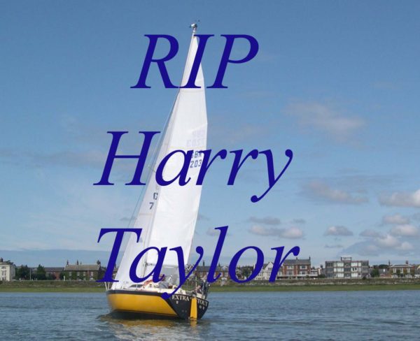
Harry will be sadly missed by those of us fortunate enough to be his friend and colleague. Harry’s funeral will be at 2.30pm on Thursday 14th February at Lytham Park Crematorium, Regent Ave., Lytrham St Annes FY8 4AB and afterwards refreshments at our clubhouse on Lytham Promenade, FY85LD.
 Captain Barnacle
 Captain Barnacle